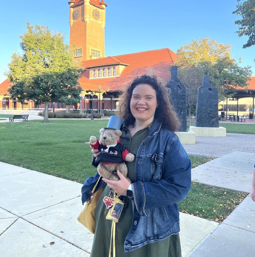
Three thousand years ago, Native Americans and pioneers used a trail that stretched across Illinois from Kaskaskia in the south to Peoria in the north. These early travelers used the trail for hunting, trade, and war. Over time, with the development of cities and highways, the trail faded away, but a trace of what it used to be remains. MS/LIS student Anna Sielaff is bringing the history of the trail to life through her project, "Relive the True Mother Road: The Edwards Trace."
For the project, Sielaff created an interactive story map using the online geographic information system ESRI ArcGIS. Users can retrace the trail by visiting the towns it went through many years ago, similar to what has been done for Route 66. The story map includes photos, videos, maps, and other digital resources that help tell the story of the Edwards Trace.
"The purpose of this project is not only to preserve the history of the Edwards Trace, but also to encourage users to travel and become familiar with the history of Illinois as a whole," said Sielaff, who holds a BA in history from Concordia University Chicago. "Before Illinois became a state, the land played crucial roles in our nation's history, such as being involved in the Revolutionary War and the War of 1812. These battles took place on the Edwards Trace. There are portions of the trace that are still visible!"
One of the portions of the trace still visible is in Lincoln, Illinois, where Sielaff was born and raised. She first researched the Edwards Trace in the seventh grade for a history fair project. Her interest in the old trail continued over the years, and when it came time to work on a final project for her Museum Informatics (IS 426) course with Professor Michael Twidale, Sielaff knew that she wanted her topic to be the Edwards Trace. This past summer, she and her friend Sam Lechowicz (MS/LIS '21) retraced the whole trail. She started a travel blog called "Ms. History Buff" to blog her travels.
"The goal of my blog is to encourage users to travel, learn, and preserve history," she said. "What makes 'Ms. History Buff' different from most blogs is that it gives smaller communities a voice to tell their stories."
Sielaff credits the iSchool with not only providing her with the skills to use a variety of library databases and preservation procedures but also giving her confidence in her abilities. On October 6, she presented her interactive story map at the 24th Annual Illinois History Conference at the Abraham Lincoln Presidential Library and Museum.
Sielaff's work on this project has inspired her to develop programs aimed at preserving and promoting historical information through community outreach. Following graduation, she would like to work as a museum educator and community engagement coordinator or museum curator.
"Taking Museum Informatics pushed me to step out of my comfort zone and to trust my abilities working with technologies," said Sielaff. "It's amazing to think that my prototype [of the Edwards Trace story map] is a functioning program now after two years of work!"